Welcome to Steart Marshes! Learn about the science going on here...

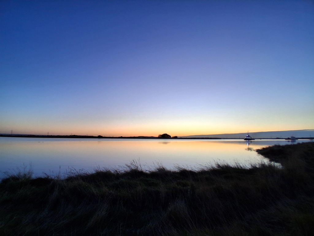
Here is the view from your vantage point, looking east across the Parrett estuary with the new saltmarsh on the left. You are standing on a new floodbank, which is part of an astonishing 200km of floodbanks here, protecting 84,000 properties (worth £5Bn) from flooding. It is a particularly good spot for seeing a wide range of wading birds such as dunlin and redshank. This is a spring-time shot and you can just make out the Mendip Hills in the distance. Keep an eye out for peregrine falcons resting on the electricity pylons!


KEY FACT 1: Looking straight ahead, you are privileged to see one of the largest areas of created saltmarsh in the UK, at around 300 hectares.

What you are seeing is entirely man-made, but now shaped by nature. The marsh was first flooded in September 2014, when the old sea wall was breached near the top of the Steart Peninsula.

Here’s the WWT’s Habitat Creation Manager Tim McGrath to tell you more about the creation of this wonderful habitat here at Steart and its benefits:


KEY FACT 2: The saltmarsh will ‘capture’ an estimated 650 tonnes of carbon from the atmosphere each year.

Here’s an aerial view of the peninsula before the saltmarsh existed, showing how computer-aided design was used to create a creek system (left) which could then be used to excavate the site (right). In total, almost half-a-million cubic metres of soil was excavated, weighing in at over 1 million tonnes of material.

Science behind creek development

Research is underway here to monitor how the creek system evolves under tidal surges so that we can draw conclusions about how effective the original design was, thereby informing future scheme designs elsewhere. Geologist and sedimentologist Clementine Chirol (pictured on the right) from the University of Southampton is conducting regular site visits to take sediment cores and use remote sensing technology to monitor the erosion and build-up (accretion) of sediments under the influence of tides and the weather. One key question we are hoping this research will answer is when and whether the creek system will reach a state of equilibrium. It will be interesting to find out!


KEY FACT 3: The successful design of a created saltmarsh like this requires that it be safe, self-sustaining and stable.

That means there must be no increase in flood risk and no impact upon navigation within the wider estuary. The site must be adaptable to future sea level rise by accumulating sediment and growing vertically, but also stable enough to allow the development of a diverse natural ecosystem. It’s far from simple!

Science behind saltmarsh ecosystem services

Research is also being funded here by the Natural Environment Research Council (NERC) and others to establish just how much carbon is being trapped in the saltmarsh soil rather than escaping to the atmosphere as a greenhouse gas in the form of carbon dioxide (CO2). Marine geochemist Rachel Dunk (pictured on the left) from Manchester Metropolitan University is taking regular soil samples across the reserve and measuring total carbon, organic carbon, and a variety of metals and other nutrients in order to build up a picture of the dynamics of nutrient cycling across the reserve.


KEY FACT 4: Globally, saltmarshes ‘capture’ 218 tonnes of carbon per square kilometre every year.

That is fifty times more than tropical forests remove per square kilometre each year!

This is how valuable saltmarsh habitat can be in regulating our climate and providing a ‘sink’ for carbon in our atmosphere.

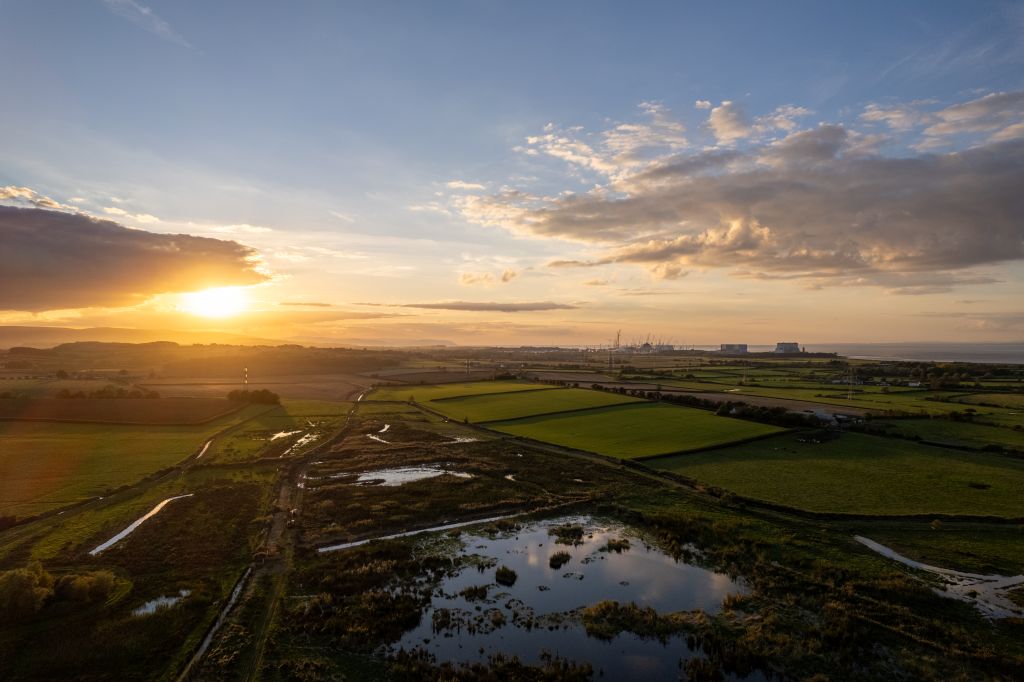
Here's a bird’s-eye view of Steart Marshes and the wider peninsula, taken via paramotor by Andy Bexx:


KEY FACT 5: Carbon removed from the atmosphere by saltmarsh is called ‘blue carbon’.

It is estimated that between 5 and 87 million tonnes of carbon are trapped by saltmarshes across the planet each year. So-called blue carbon is also trapped by mangroves and seagrass beds.